About St. Lucia
St. Lucia is one of the most uniquely beautiful islands in the eastern Caribbean.
Location of St. Lucia
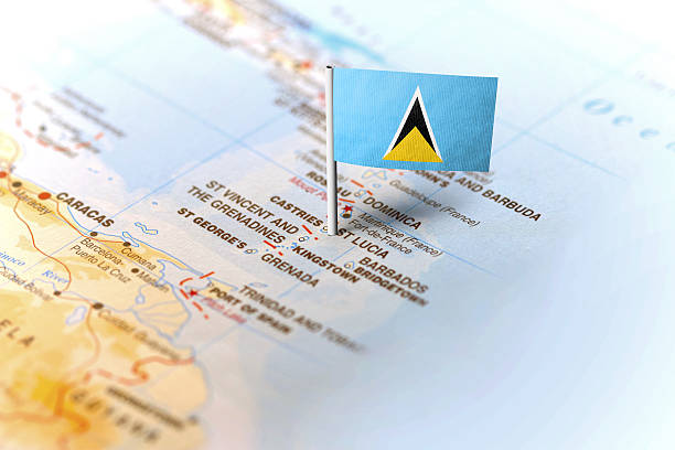
St. Lucia (pronounced – Saint Loo-Sha) dubbed “The Helen of the West” is located 13 degrees 53′ N and 60 degrees 68′ W. It is approximately 1300 miles southeast of Florida, in the Windward Islands. The Windward Islands are part of the Lesser Antilles, which are in turn part of the West Indies. This 238 square mile jewel is 21 miles from its nearest neighbor, the French island of Martinique, 24 miles north of St. Vincent and 100 miles northwest of Barbados. The island possesses some of the finest natural harbors in the Caribbean and is centrally located within easy reach from the rest of the caribbean region and North America.
General Facts & History of St. Lucia
St. Lucia has been part of the British Commonwealth since 1814 after alternating 14 times between the British and French. The battles for St. Lucia between the British and the French spanned 150 years before finally being won by the British. As a result, English is the official language on the island but because of the French influence, patois is a second language spoken by Saint Lucians. St. Lucia has been an independent nation since 1979 and has been a good developing nation throughout the years. Castries, the capital, is the main port and the largest city on the island. This city has been destroyed four times between 1796 and 1948 by fires and natural disaster. But it was fully rebuilt featuring a mix modern infrastructure and a few preserved traditional buildings.
St. Lucia Landmarks
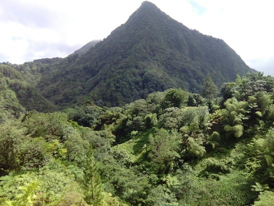
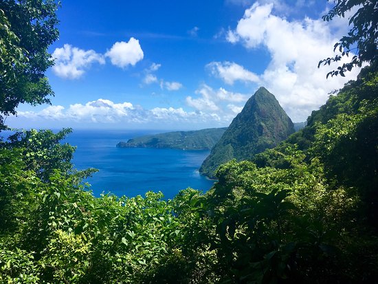
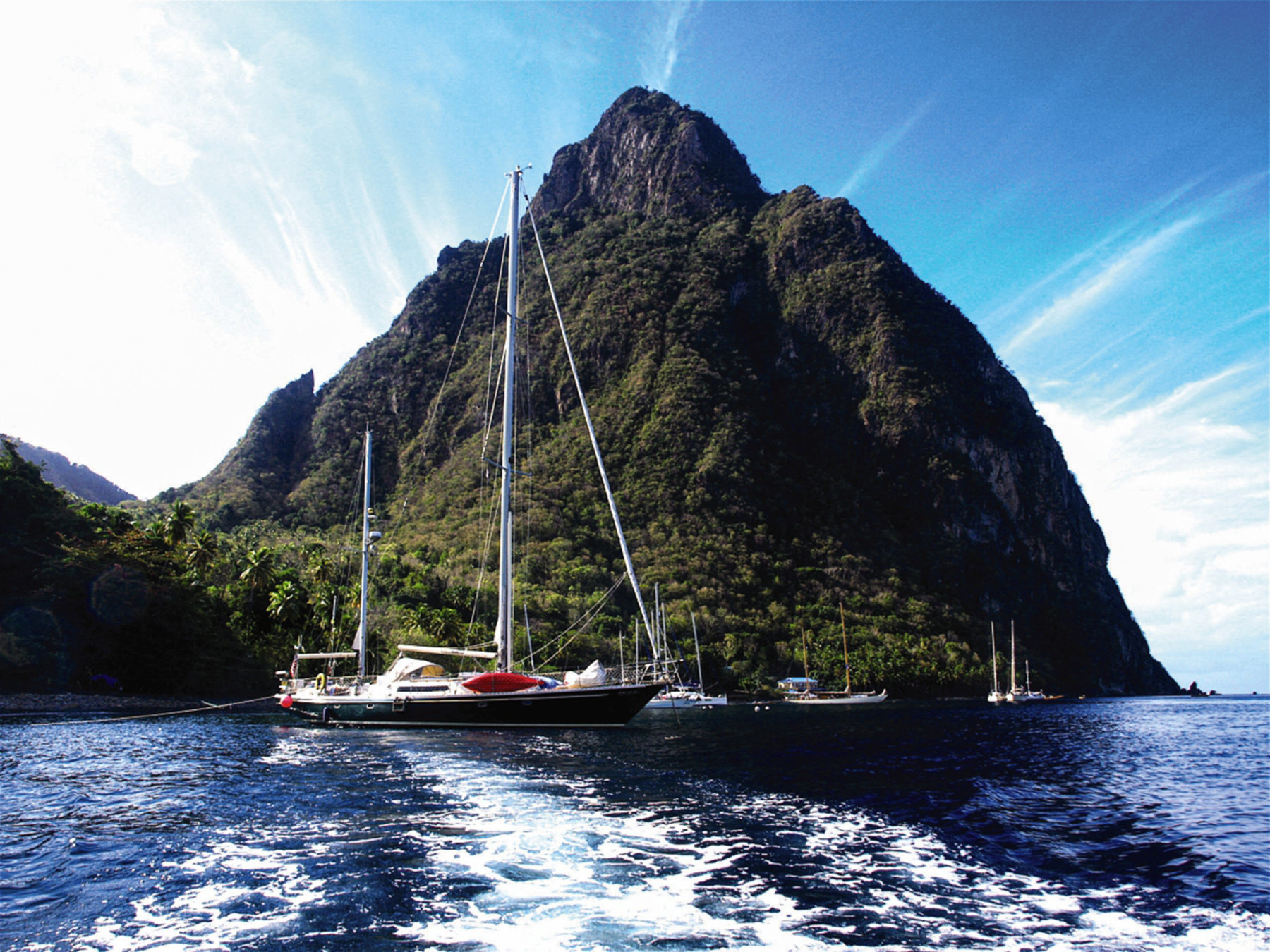
Some of St. Lucia’s most important landmarks include Pigeon Island National Park – Forts, Ruins (Arawak artifacts) and Caves; Cathedral of the Immaculate Conception; Derek Walcott Square; the Vigie Lighthouse; Fond Dor Nature Reserve & Historical Park; Petit Piton (rises 2438ft. above sea level); Gros Piton (rises 2618ft. above sea level); the “Sulphur Springs” Drive-in-Volcano
Map of St. Lucia
